The humanitarian side of Earth observation
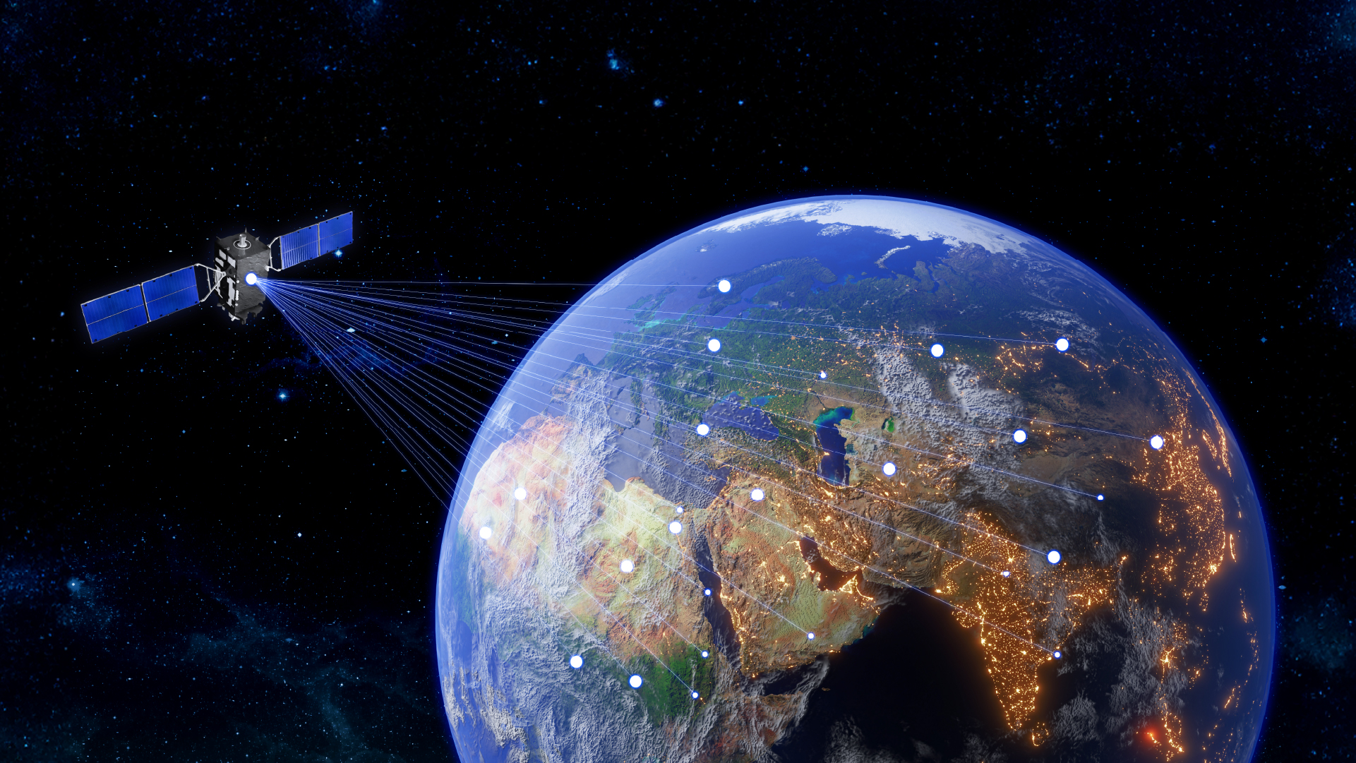
In recent years, the increasing availability and quality of Earth observation (EO) data has profoundly transformed the way in which humanity is able to understand and manage crisis situations. Satellites orbiting hundreds of miles above Earth are now providing near real-time information about natural disasters, environmental degradation, and humanitarian emergencies. Although these capabilities are the result of a technological revolution, they are also having a major humanitarian impact.
When a disaster strikes, such as a hurricane, earthquake, forest fire, flood, or the effects of a war, it is essential to have immediate access to accurate information. EO data can provide a rapid overview in situations like these, in a way that ground-based systems are unable to match. For example, some satellites have synthetic aperture radar (SAR) systems that can penetrate cloud cover and operate at night, to provide continuous observation even under adverse weather conditions. In addition, with just a few clicks, users can gain access to optical images that can be used to map and assess the damage and destruction caused, and to guide rescue and relief efforts.
In humanitarian contexts, the use of EO data makes it possible for decision-makers to allocate the available resources towards the areas where they are needed the most, and during a flood, for example, maps that show the extent of the flooding can be used to identify isolated communities and plan rescue operations and routes. In conflict zones, EO can be used to monitor population displacements, detect damage to infrastructure, optimize logistics along humanitarian corridors, and supervise aid deliveries, which are all uses that become especially important when information on the ground is scarce or contradictory.
When combined with other sources, such as information from ground-based sensors, computer modeling, collaborative data networks, and even social media posts, EO datasets can help build a multidimensional view of a crisis situation, as well as simulations that can be used to support predictive and proactive decision-making.
In Europe, the Copernicus Emergency Management Service (CEMS) provides a good example of these capabilities. It operates 24 hours a day, 7 days a week, to supply open-access geospatial data and rapid analyses. These can be used to support the work of governmental authorities and humanitarian organizations around the world, including aspects ranging from preparation in advance to post-crisis recovery.
The democratization of EO data, which has been driven by open-access programs such as those that rely upon the Sentinel and Landsat satellites, together with the growth of commercial satellite constellations such as Planet, ICEYE, and Maxar, have brought down costs considerably and improved accessibility. In parallel, cloud processing, artificial intelligence, and digital platforms are eliminating technical barriers, while also making it possible for an increasing number of users to transform complex data into useful information.
For many organizations, especially those operating in less technologically developed countries, this evolution represents an opportunity to overcome the limitations previously imposed by a lack of infrastructure or technical capabilities. The challenge is no longer about how to obtain the right information, but instead, how to convert that information into applicable knowledge and encourage its integration into public policies and crisis response systems.
At the same time as the world is facing emergency situations that are becoming more frequent and intense, Earth observation has emerged as a cornerstone of global resilience. However, in order to unlock its full potential, it is essential to continue investing in its use by the pertinent institutions.
EO datasets are more than just pixels sent from space. They represent the eyes of humanity looking at itself, and they have become an essential tool for achieving faster, fairer, and better-informed responses to the types of crises we are currently facing.
Author: António Araújo
This article was previously published on Tek Notícias