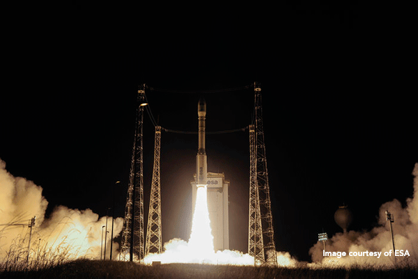
Sentinel-2B, with GMV participation, blasts off successfully

On 6 March the fifth satellite of Europe’s Copernicus program, Sentinel-2B, successfully blasted off from Europe’s Kourou Spaceport in French Guiana.
It was launched onboard a Vega rocket at 01.49 hours GMT (02.49 Spanish time; 22.49 on the 6th, local time). After a 57-minute, 57-second flight Sentinel-2B separated from its rocket and is expected to become completely operational after about three months.
The Copernicus program is an ambitious project under which Europe is building up its own earth-observation capability and technology. Previously known as Global Monitoring for Environment and Security, this program comprises six satellite families: Sentinel-1, designed to ensure the continuity of ERS (European Remote Sensing Satellites) and Envisat radar data, Sentinel-2 and -3, dedicated to earth and ocean monitoring; Sentinel-4 and -5, which will be dedicated to atmosphere-based meteorology and climatology missions; and Sentinel 6 or Jason-CS, which will make high-precision observations of ocean surface topography. Each satellite weighs about 2.300 kilograms and has been designed for a useful life of at least seven years.
The complete fleet of satellites will provide a huge amount of fundamental images and data for the Copernicus program and will offer a series of key services for a wide range of applications: land monitoring, ocean monitoring, crisis- and catastrophe-management, atmosphere and climate-change monitoring, plus security.
Sentinel-2B will form a constellation with its twin brother, Sentinel-2A, launched back in June 2015. Although launched separately, both satellites will fly in tandem in the same orbit, at an altitude of 786 kilometers and with a separation of 180 degrees.
The Sentinel-2 satellites’ remit is to provide data on the management of the environment and farming areas. They can also be used for monitoring deforestation or desertification of certain areas and studying the impact of climate change, for example analyzing the rate of glacier retreat. The satellites will also give information on the pollution of lakes and coastal waters; moreover, their images of floods, volcanic eruptions and landslides will help to map natural disasters and speed up humanitarian aid.
The new satellite will also carry an advanced Multi Spectral Instrument (MSI) with an image width of 290 kilometers. Together with its twin Sentinel-2A, it will give thoroughgoing and global data on the earth’s surface, the biggest islands and coastal and continental waters – between the latitudes 56 degrees south and 84 degrees north - doing so with a five-day frequency.
The Control Center is set in Darmstadt (Germany) and all Sentinel data will be received in Matera (Italy), Maspalomas (Spain) and Svalbard (Norway).
GMV is playing a key role in the Copernicus program, participating actively in various projects for both the ground and space segment. During launches it provides support services for the mission planning and control systems. GMV’s contribution to the Sentinel-2B satellite is the following:
- Sentinel-2 Mission Analysis for all phases of the mission
- Sentinel-2 Mission Simulator for all phases of the mission
- Responsible for development of the Control Center set up in ESOC
- Participation in the orbital dynamics system (flight dynamics) and ESOC operations
- LEOP support in ESOC
- Responsible for providing the Precise Orbit Determination (POD) service for Sentinel 2
- Participation in the development of Sentinel 2’s operational processor as part of the Payload Data Processing Ground Segment (PDGS)
- Participation in the Sentinel 2 Mission Performance Center