ATIN-Blueco: Earth Observation data in support of the marine environment protection and blue economy development
Atlantic-facing EU countries are implementing marine planning and management regulations (such as the Maritime Spatial Planning Directive, the Marine Strategy Framework Directive, Blue Economy measures, and the Integrated Maritime Policy) to address the upcoming challenges regarding the marine environment.
The size of the Atlantic underlines the need for new solutions to cope with the vast geographic area that it covers. This is why it is the right time for the European Space Agency’s (ESA) actions to coordinate, establish, and assess efforts demonstrating how EO can support meeting the aspirations and requirements of EU marine policy.
These actions have materialized in the form of ESA’s Atlantic Regional Initiative, seeking the proper engagement of the relevant Atlantic stakeholders and fostering adequate strategies to address the mid- to long-term developments of various maritime economic activities. Under this initiative, several projects have been funded addressing relevant topics such as the blue economy, maritime spatial planning, Atlantic cities, and renewable energies.
In this regard, GMV is leading the ATIN-Blueco project, focused on the blue economy: innovation clusters, Atlantic natural resources management, and maritime spatial planning, which aims to complement the Atlantic Regional Initiative by providing insights and solutions in the Blue Economy topic.
As part of this project, GMV and its partners (National Oceanography Centre and University College Cork) are consolidating EO and IT experience to design and build well-framed services that support information delivery to address the needs of users and stakeholders working in relevant domains, which include marine pollution, flood, and coastal erosion risk and marine renewable energy.
After several discussions with Atlantic users and stakeholders, well-framed services have been defined, aiming to address their operational needs. These services are:
-
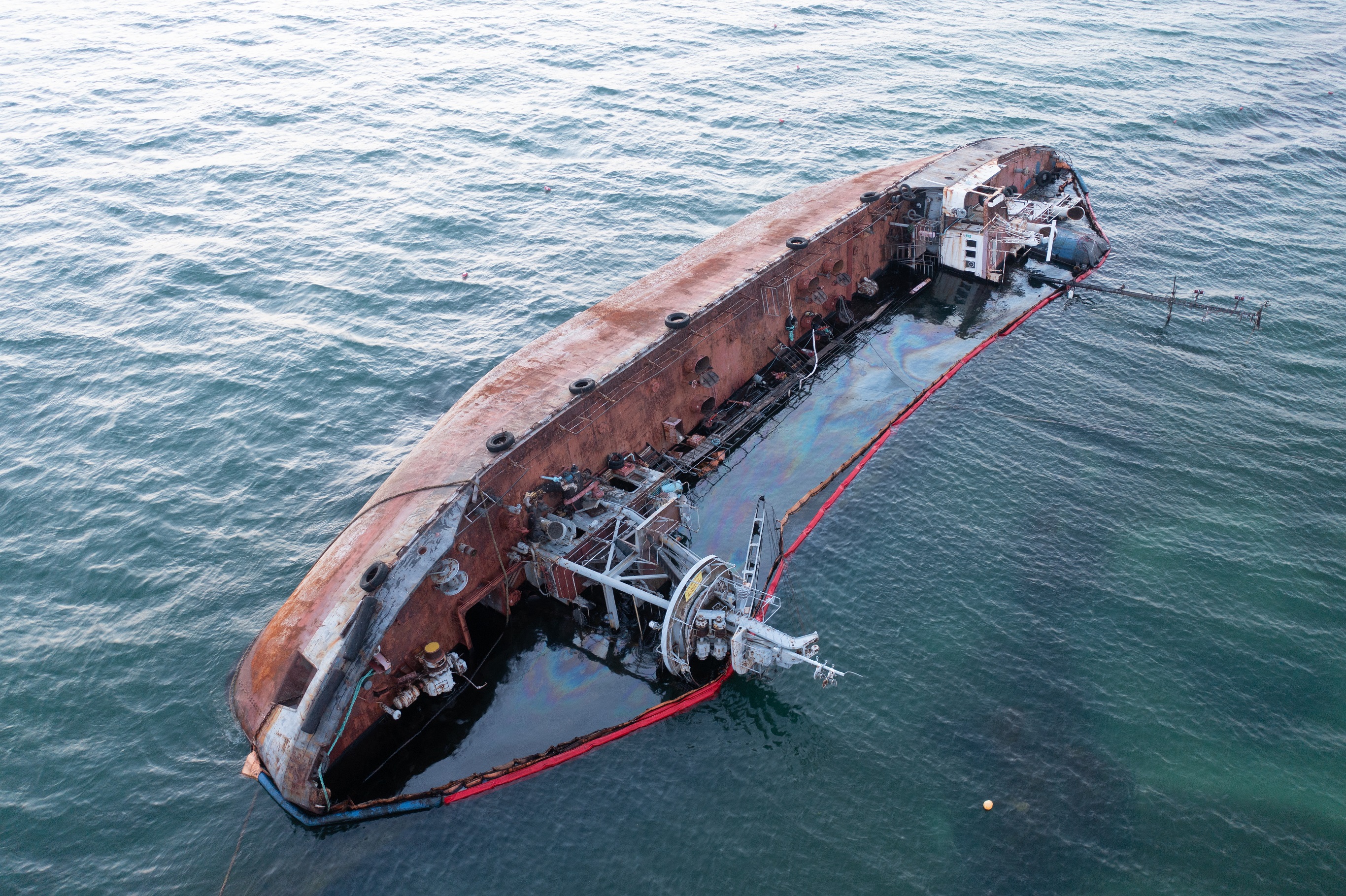
Detection and monitoring of marine pollution – Marine pollution is a devastating problem that needs new conceptual and technological solutions to help prevent, detect, monitor, and mitigate the consequences of this environmental degradation. In this regard, EO-based services can contribute decisively to potential solutions.
GMV is implementing EO-based services that aim to detect marine pollution using freely available Sentinel 1 and 2 (optical and SAR) imagery. These services rely on the advantages of using multispectral EO data together with machine learning and artificial intelligence to identify floating plastics (understanding their type) and marine spills.
The use of Sentinel imagery is a decisive factor to underline the added value of these services, as it is possible to monitor areas of interest continuously and even expand the analysis with the addition of ocean circulation models to understand pollution flow trends. -
Flood and Coastal Erosion Risk Management – To mitigate flood and erosion risk in coastal regions of the United Kingdom, the Channel Coastal Observatory (CCO) coordinates and disseminates data collected by the National Network of Regional Coastal Monitoring Programmes of England.
Faced with rising costs of coastal protection, it is expected that management approaches will move away from protection towards resilience and adaption measures. Accordingly, there is a need to increase levels of observation across a range of parameters. The overarching aim of this use case is to find and showcase novel ways to use EO data in combination with non-EO data to enable the Channel Coastal Observatory to plan labor intensive ground data collection more efficiently by filling gaps in the in-situ monitoring program and alleviating the need for some ground surveys. One key aim of this project for CCO is to assess the usefulness of EO to provide pre and post storm beach profiles to monitor changes in beach volume.
To implement this service, the National Oceanography Centre has developed the temporal waterline (estimated height of the intertidal bathymetry) method that combines SAR imagery with tidal records to map intertidal bathymetry heights. Intertidal areas can be extensive, dangerous, and potentially difficult to access, making ground surveying extremely challenging in certain areas. -
GNSS interferometric reflectometry for remote sensing of the sea - To perform this service, the consortium is working in partnership with the European Marine Energy Centre (EMEC) codesigning an EO service tailored to the needs of the expanding marine renewables sector.
Low-cost GNSS-IR (Interferometric Reflectometry) has been identified as a viable and highly promising solution for remote sensing of the sea’s conditions. This methodology has become an established tool in ocean remote sensing—for marine applications, the technique can be used to measure water levels and sea state. In this approach, the distance between an antenna and the water surface is measured by analyzing the oscillation of the SNR observation. In the end, sea surface roughness is related to the attenuation of the SNR oscillation and can be processed to derive significant wave height and direction.
Finally, it is also very important to refer that the operational services that are being provided in the scope of the Blue Economy project are to be interpreted as examples of the far greater potential that EO-based services provide, harnessing the perspectives of maritime stakeholders and helping them recognize opportunities in the space arena, and actively work towards future paths beyond the project itself.
In this regard, the project consortium has been working on the various inputs gathered, following an extensive number of stakeholders meetings. These will be used to produce a stakeholder-led and data-driven roadmap containing actionable recommendations (options) for ESA to consider implementing in future Atlantic Initiatives.
Author: Filipe Girbal Brandão